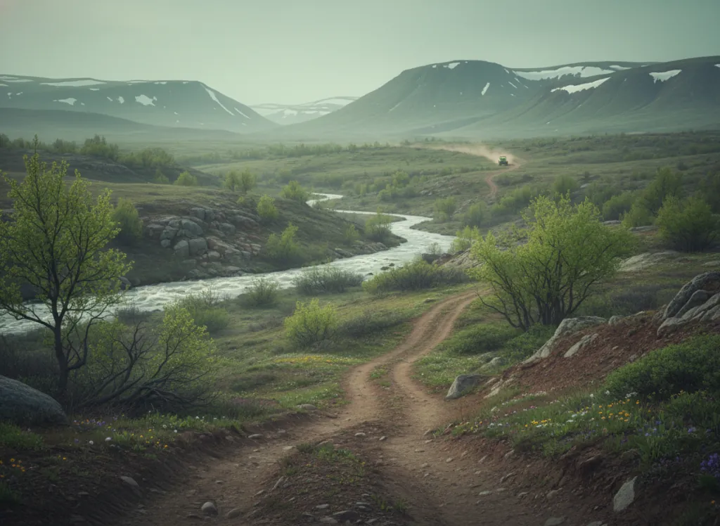
The Kootenai National Forest encompasses 2.2 million acres of the northwest Montana corner (Lincoln, Sanders, and Flathead counties bordering Idaho and British Columbia), the most heavily glaciated and forested terrain in Montana, a landscape defined by the Cabinet Mountains, Purcell Mountains, and Salish Mountains that rise from the Kootenai and Clark Fork river valleys in a wall of dense conifer forest unlike any other part of Montana. The Kootenai's OHV trail network threads through the forest's interior on designated routes in the Cabinet Ranger District (centered on Libby and the Fisher River country), the Rexford Ranger District (Lake Koocanusa corridor), and the Troy Ranger District (northwest corner near the Idaho border). Libby is the hub community, a former mining and timber town on the Kootenai River that remains the access point for the forest's western Montana corner. The terrain is inland temperate rainforest character: western red cedar, western hemlock, western larch, grand fir, and Engelmann spruce in the moister draws and north-facing slopes; Douglas fir and ponderosa pine on the drier south aspects; the dense ground cover of ferns, devil's club, and Oregon grape that signals the maritime moisture influence penetrating inland from the Pacific. The Cabinet Mountains Wilderness dominates the core of the forest and is closed to motorized use; the OHV system operates on designated routes in the non-wilderness working forest surrounding the wilderness boundary. Lake Koocanusa, a 90-mile-long reservoir created by Libby Dam on the Kootenai River, provides camping infrastructure for riders based in the forest's eastern districts. ATVs, UTVs, and dirt bikes on designated routes; Montana OHV registration required. Kootenai NF supervisor's office in Libby (406-293-6211) manages district-level trail information.
Hours
Accessible approximately May through November; Cabinet Mountains routes close under snow. No day-use fee. Montana OHV registration required.
Phone
406-293-6211Trip openings, seasonal updates, and the occasional deal, straight to your inbox.
FAQ
Everything you need to know before you get started.
Have a question, or ready to book? Reach out and we’ll get right back to you.